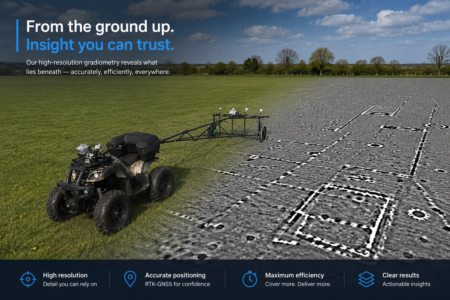
Survey services built around data quality
Every engagement is delivered through the same controlled workflow — autonomous acquisition, live monitoring and professional processing.
Archaeological Magnetometry
High-resolution magnetic survey for evaluation, planning support and research landscapes.
Infrastructure Corridors
Consistent coverage for highways, rail, power corridors, pipelines and major development routes.
Solar & Energy Sites
Efficient large-area coverage where speed, repeatability and QA are critical.
Research Surveys
Support for universities, archaeological organisations and landscape-scale projects.
Data Processing
Processing, visualisation and professional geophysical outputs through R-12, our in-house suite.
Demonstrations
Live demonstrations for commercial partners, archaeological contractors and infrastructure clients.
Tell us about your survey
From a single archaeological evaluation to a large infrastructure corridor, we can talk through coverage, positioning and deliverables.
Contact TerraBytes →