The risks TerraBytes is built to remove
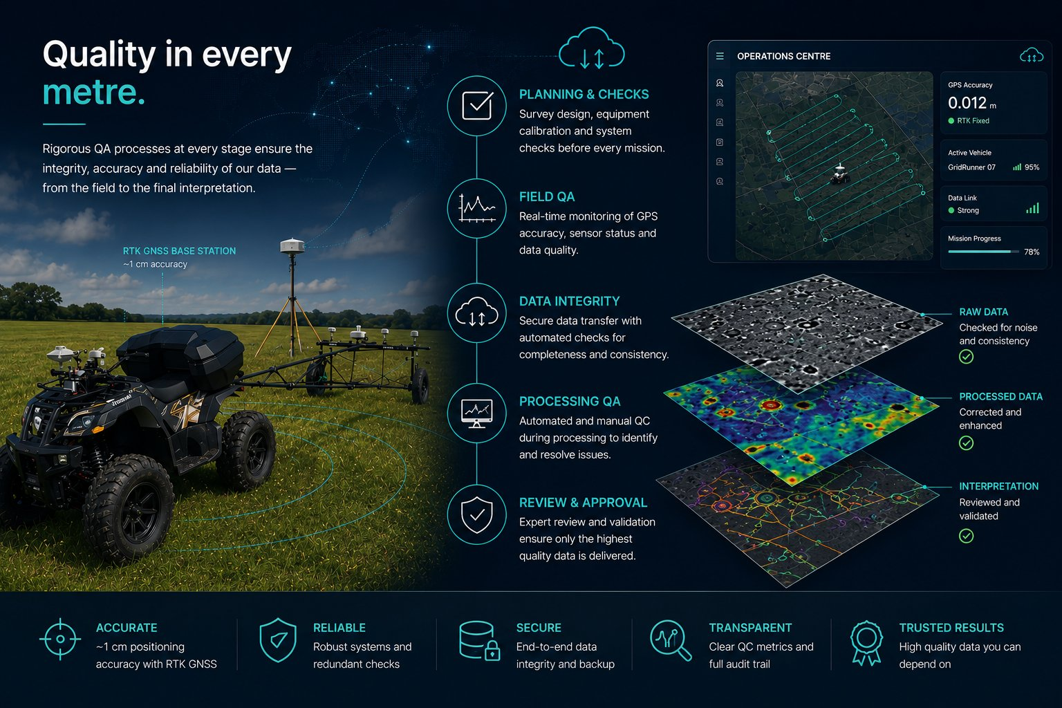
The biggest dangers in geophysical surveying are poor coverage, missing data, interference, instrument faults, positioning error and failures that are not noticed until processing begins. TerraBytes addresses these through autonomous acquisition, RTK positioning, live telemetry, logger safeguards and continuous monitoring.
Coverage
Surveyed swath, vehicle trail and completion progress can be reviewed during and after acquisition.
Precision
RTK quality, satellites and correction age are monitored continuously to support positional accuracy.
Instrument health
Sample rates, logging status and data continuity are monitored to reduce hidden field risk.
Alerting and intervention
The Operations Centre is designed to alert the operator when acquisition quality is at risk. A remote operator can log in, inspect the system and take action — rather than discovering the problem after the survey has ended.
- RTK loss or degraded correction state
- Instrument sample-rate problems
- Logging stopped or file growth stopped
- Communications or system health warnings
- Coverage progress and missing-area visibility